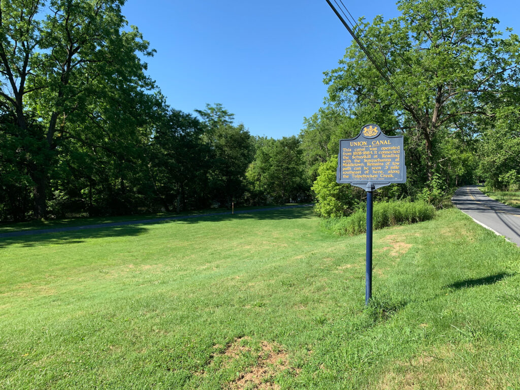
Date of Visit: July 19, 2020
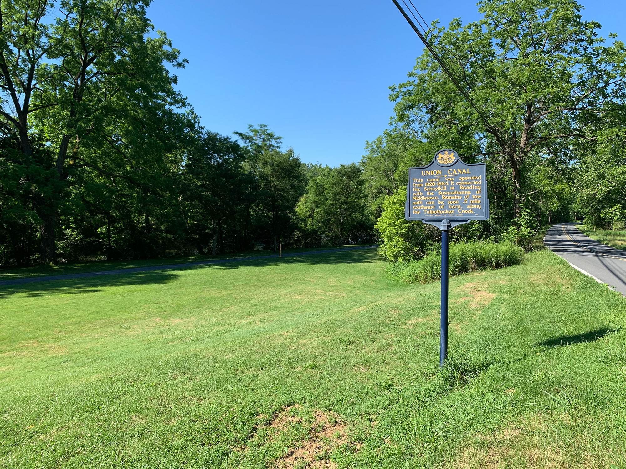
Before semi-trucks began rolling along the Pennsylvania Turnpike and before the Pennsylvania Railroad became the “Standard of the World,” the fastest way to get products from one side of the state to the other was the canal.
About 300 miles of canals once carried Pennsylvania products to ports in Philadelphia and Lake Erie. The Union Canal was one of the most important links in the chain, connecting Harrisburg (via Middletown) to the city of Reading and ultimately on to Philadelphia.
Relics of the trail remain across the route, but nowhere is the canal’s history highlighted like it is along the Union Canal Towpath Trail in Reading, Berks County.
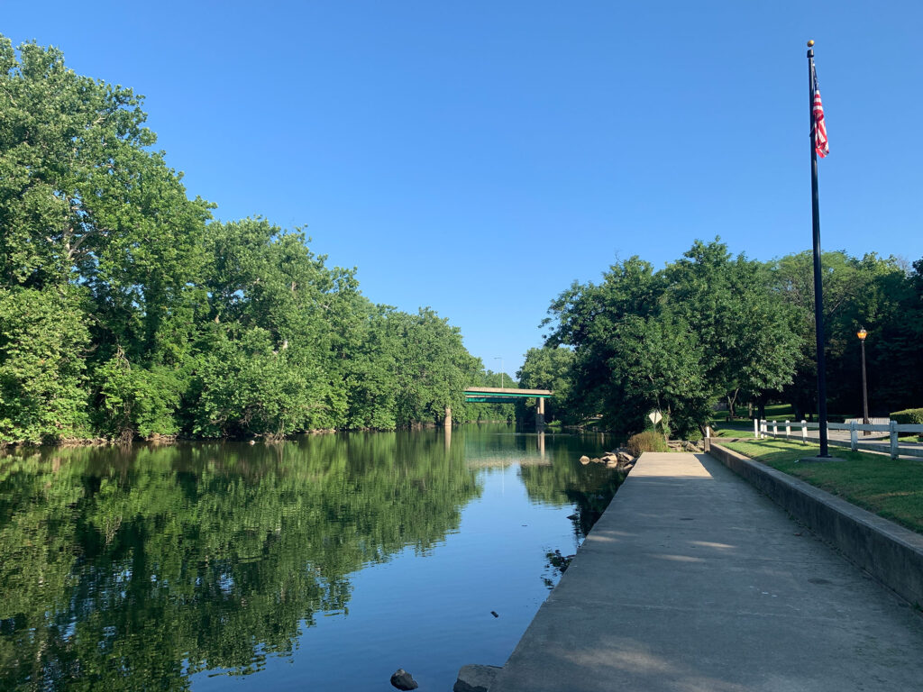
The six-mile trail begins just south of Stonecliffe Park in the City of Reading. Stonecliffe is located near the eastern terminus of the Tulpehocken Creek. The Schuylkill River lays just beyond the park and the end of the trail.
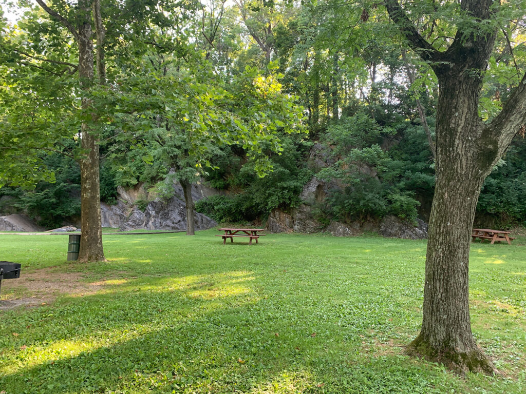
Stonecliffe is so named because it is the site of a former rock quarry. Atop the stone cliffs that mark the park’s borders is the city’s Glenside neighborhood. The park, however, is flat – except for a few well-placed ramps and jumps in the action park where skateboards and BMX bikes put on quite a show.

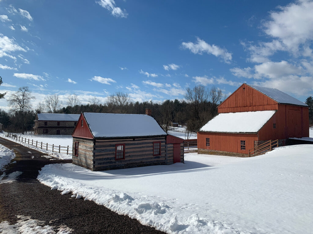
Just a half-mile up the trail is the Berks Leisure Area, a small park and trailhead that is highlighted by an iron truss bridge that crosses the creek. Just beyond the park is the Nicholas Stoltzfus Homestead, which dates to the 18th Century. Still owned by the Stoltzfus family, the homestead is open for public events on select dates throughout the year.
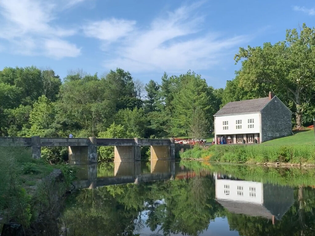
Venture a half-mile further along the trail to reach Gring’s Mill Recreation Area. Here the creek is dammed – the stately concrete bridge and dam were added in the 1930s to provide electricity for a local paint maker.
The Mill buildings have been converted into park offices and an event venue. The park hosts a summer concert series and a popular holiday lights display that are set up across the 33-acre grounds.
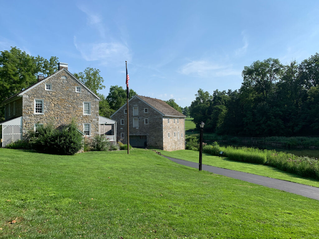
Heading northwest from Gring’s Mill, it’s about two miles to the Berks County Heritage Area. The museum complex serves as the mid-point of the trail and a worthy stop for history buffs of any age.

The site is home to a multitude of monuments, historical buildings and exhibits. The most impressive of them is the Gruber Wagon Works. The yellow-painted wooden building was saved from demolition and moved to the site in the 1970s. Today visitors can learn about the importance of wagons in the 18th Century and see the equipment used to build and maintain them.
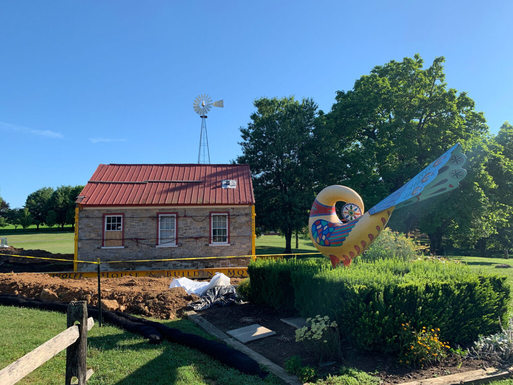
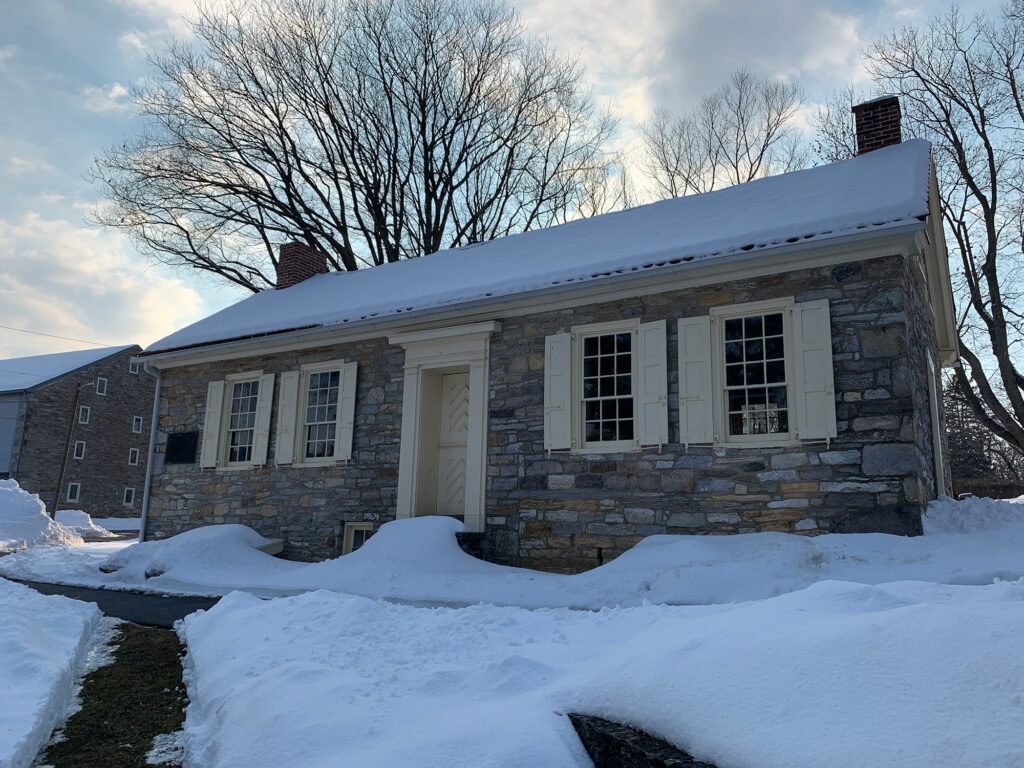
Another historic building arrived on the site more recently. In the summer of 2020, a one-room schoolhouse – which had been slated for demolition – was brought to the property where it is currently being prepared for future tours.
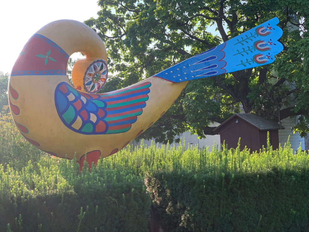
The schoolhouse is located right next to one of the most iconic features of the complex – the Distlefink statue. Meaning “thistle finch” in the Pennsylvania German dialect, the brightly colored bird has become a symbol in the local culture – and the statue makes for a great photo opportunity.
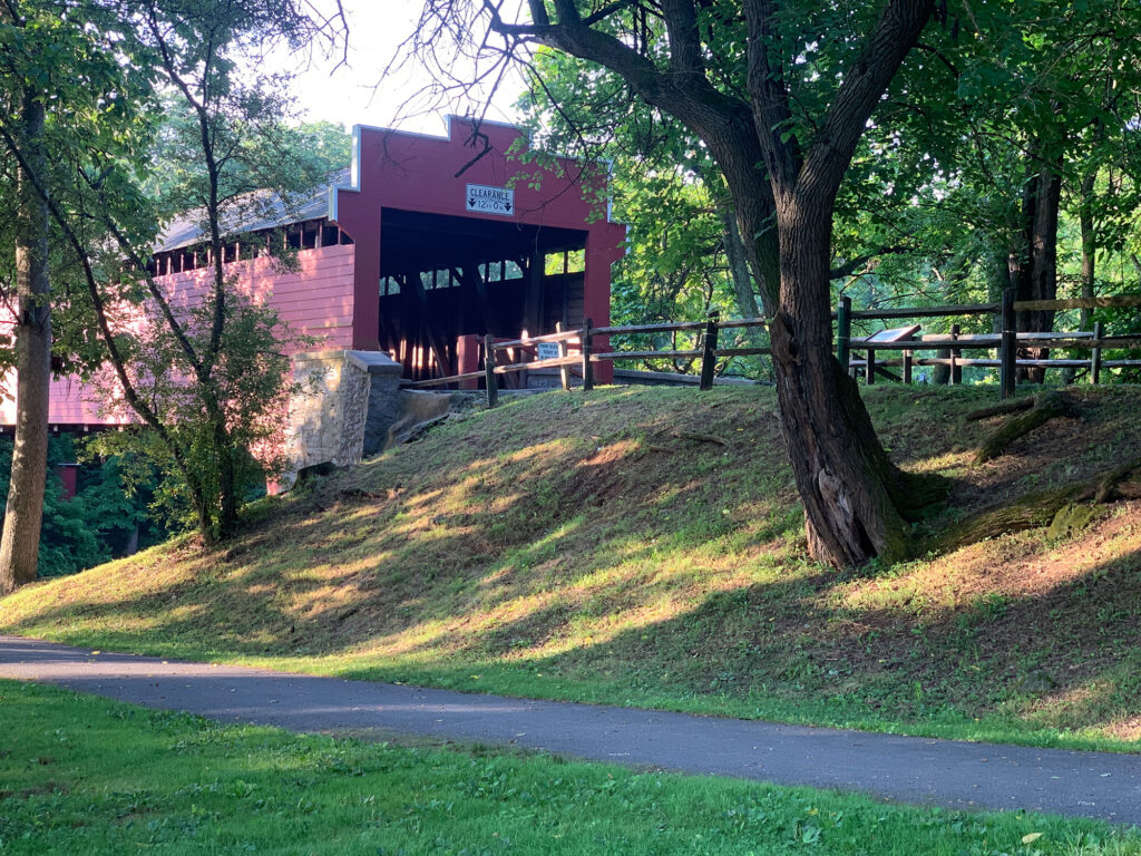
An even more popular photo spot is Wertz’s Covered Bridge. The largest single-span covered bridge still standing in Pennsylvania, Wertz’s bridge was built in 1867 and now connects the Heritage Area to another picnic grove on the other side of the creek.
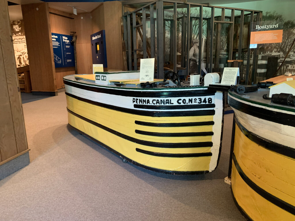
For those tracing the path – and history – of the canal, you can also visit the C. Howard Heister Canal Center. Located in a converted barn on the property, the Canal Center is filled with artifacts of 19th century transportation, including a houseboat barge that once was moored along the former Schuylkill Canal nearby.
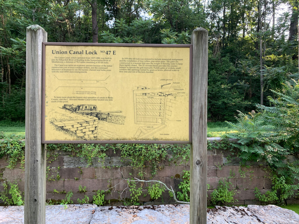
A little further up the trail is another piece of canal history that has been preserved. Lock No. 47 E was restored in 1976 to illustrate the process of lifting and lowering canal boats. The standing water that gathers around the remnant of the canal has become a haven for the turtles that populate the area. (Tulpehocken literally means “land of the turtles”).
The towpath trail continues on, passing beneath US Route 222 before reaching Reber’s Bridge, a popular trailhead and fishing spot.
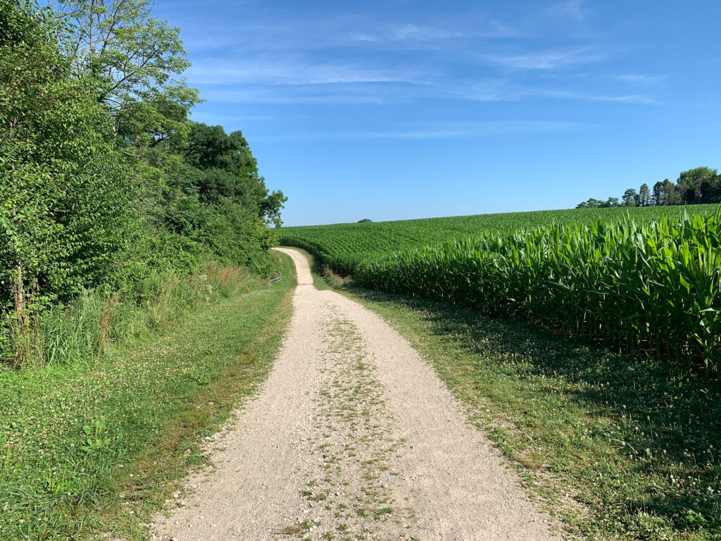
The last two miles of the trail take on a different character, leaving the relative flatness of the creek behind for steep ups and downs as it climbs to its terminus as the Blue Marsh Stilling Basin.
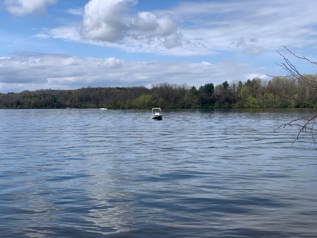
Built in the 1970s to help prevent flooding downstream in Reading, the dam slowed the Tulpehocken and created Blue Marsh Lake. What was once a community known as Pleasant Valley is now the 1,000-acre Blue Marsh Lake.
Though the canal trail stops here, the 6,000 acres that surround the lake are home to 36 miles of multi-use trails that are popular with hikers, runners, mountain bikers and horseback riders.
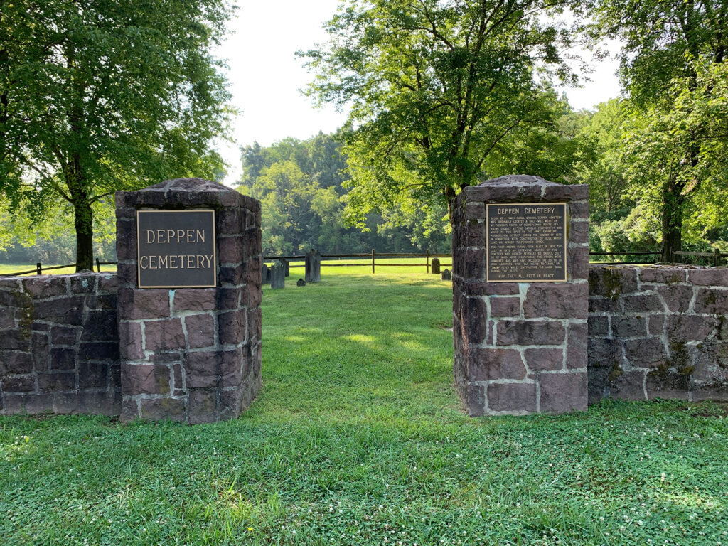
Blue Marsh and the Berks County Heritage Area are forever linked – not only by the canal – but by a shared history. The Gruber Wagon Works and Deppen Cemetery were both moved to the Heritage Area to preserve them before the dam was built and the area flooded just a couple generations ago.
And it was the same calls for preserving Berks County history that led to the resurrection of the Union Canal Towpath as a trail.
When You Go
- The trail has seven public trailheads – Stonecliffe, Berks Leisure Area, Gring’s Mill, Berks Heritage Area, Red Bridge Park, Reber’s Bridge and the Stilling Basin. The Berks Heritage Area is the easiest access point for out-of-towners as it is located near Route 222 off the Route 183 exit.
- The trail is crushed stone with just a few paved areas in parks for accessibility reasons.
- The Stilling Basin trailhead is actually about a quarter-mile on-road from the stilling basin, itself.
- The trail can – and does – get crowded on weekends and on pleasant evenings.
- While the grounds of the Berks Heritage Area are open daily, the Gruber Wagon Works and Heister Canal Center are open more limited hours. Check the Berks County Parks website for the latest information.

